Introducing multispectral or hyperspectral image processing services in python or gis software
Greetings,
If you are facing challenges with processing Multispectral or Hyperspectral images or any satellite images, I am here to assist you. As a remote sensing and GIS expert with over 5 years of experience, I can help you extract valuable information from intricate images and guide you in making data-driven decisions.
Services I offer include regression, time series analysis, image processing/preprocessing, data visualization, digitization, land cover change assessment, water quality assessment, indices calculation on satellite data, classification, segmentation, anomaly detection, and target detection.
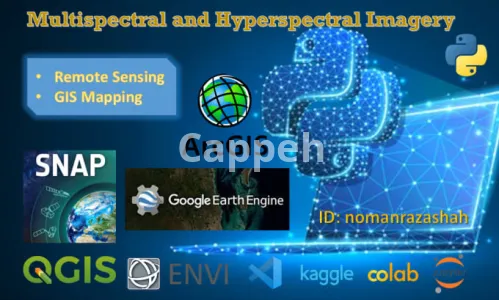
I am proficient in using software tools such as Google Earth Engine, ArcGIS, QGIS, ENVI, SNAP, Python, and MATLAB. I can tailor solutions to suit your specific requirements and ensure that you maximize the potential of your images.
If you require Multispectral or Hyperspectral Image processing in Python, or any remote sensing and GIS assistance, I am confident in delivering high-quality results that surpass your expectations. I am available 24/7 and will work diligently to meet your needs.
Thank you.
| Shop Location | Beijing, China |
No reviews found!


No comments found for this product. Be the first to comment!